PLUMAS COUNTY Communities at Risk - WUI Map
Title
PLUMAS COUNTY Communities at Risk - WUI Map
Abstract
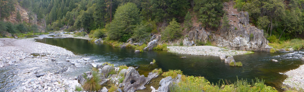
Printed map showing wildland urban interface areas in Plumas County
Purpose
Printed map showing wildland urban interface areas in Plumas County
Begin Date
2015-08-21
End Date
2015-08-21
Originator Name
Plumas Firesafe Council
Keywords
Forest Management, Fuels Management, Hazard, Land use, Landuse Planning, Wildfire
Resource Type
Map
Resource Owner
deercreekgisWebsite
To the owner of PLUMAS COUNTY Communities at Risk - WUI Map
1 file
- PlumasCounty newWUIRisk_2010.pdf 5.09 MB Added 20 Aug 2015